
The Muddy River
Located in Boston, Massachusetts, the Muddy River connects a series of brooks and ponds that run through sections of Boston's Emerald Necklace, including the south boundary of Brookline.
The Muddy River is part of the Emerald Necklace Project, built between 1880 and 1900. It was designed by Fredrick Law Olmsted, who also designed New York’s Central Park. This project aimed to reclaim marsh land by creating a sculpted river way and planted river banks.
Frederick Law Olmsted believed that nature could restore the human mind and spirit. He conceived this unique urban landscape to bring a natural regenerative experience to city dwellers.
As Boston developed through the 1950s and 60s, the Muddy River was placed into culverts and buried to make way for parking and roadways. Split by the Mass Pike (I-90) and cut off from the Charles River by Storrow Drive, the Muddy River lost some of the beauty it had brought to the city of Boston.

Dirty Muddy
The Muddy River is one of the two most polluted tributaries of the Charles River, according to a multi-year water-quality study conducted by the Charles River Watershed Association. In January 2019, when a vehicle spun off the Storrow Drive exit into the Muddy River, Boston’s Police Chief called the driver falling into the polluted water of the Muddy the most dangerous aspect of the accident. Boston desperately needs our help to rehabilitate this renowned urban waterway, which is not only a critical component of Boston’s most famous open space, but also an historical site in and of itself.

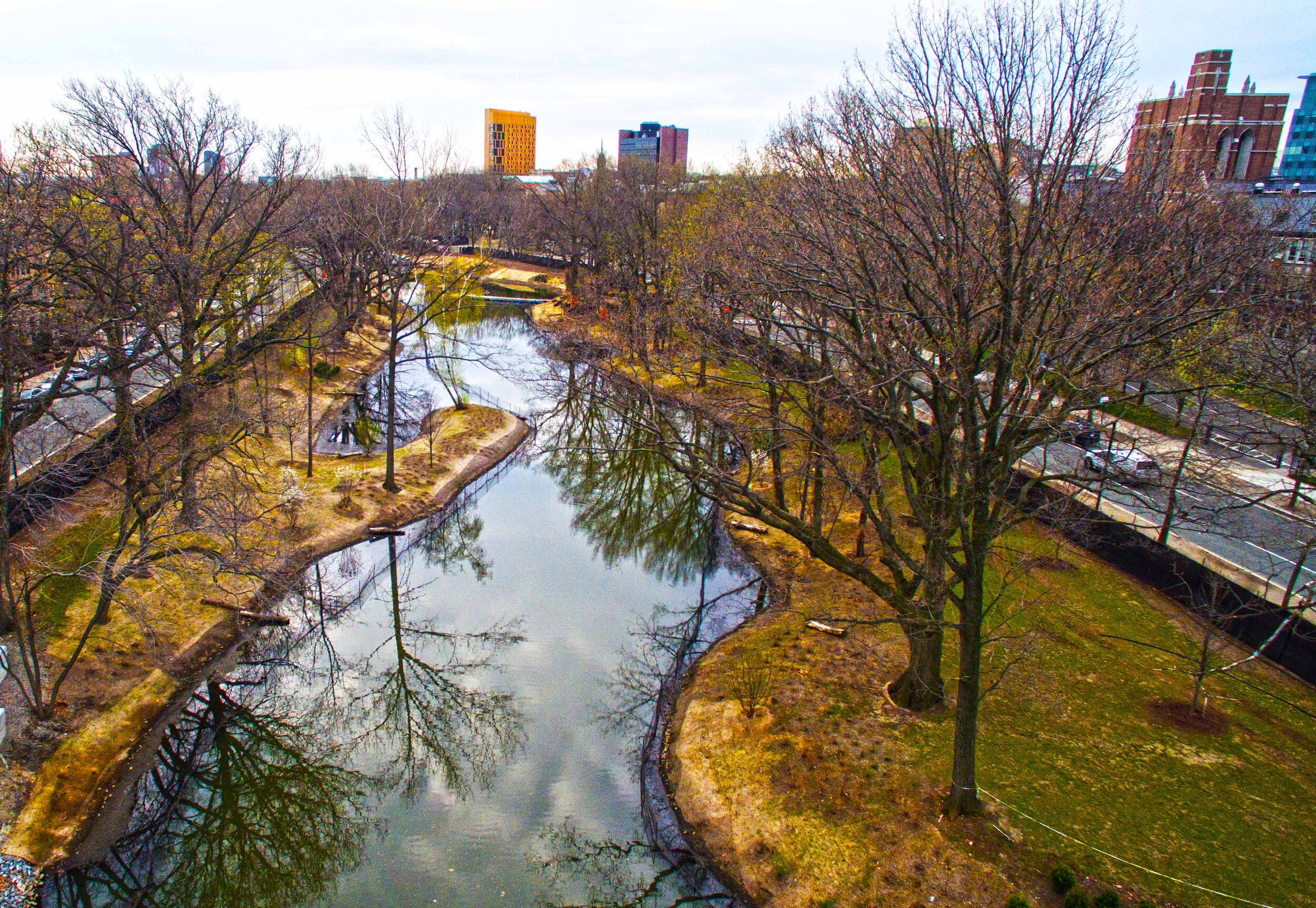
Daylighting the Muddy
Since 1996 the Commonwealth of Massachusetts has been working with the city of Boston, the town of Brookline, and the Army Corps of Engineers to construct a solution to periodic flooding of the Muddy River. This is the Muddy River Restoration Project.
Phase I of this project was finished in 2016 and included uncovering the river in front of the Landmark Center, creating new river crossings, cutting down heritage trees, and planting the recreated river’s edge. Phase II is currently concluding, and we hope that ecological concerns, including water quality issues, fish runs and bird habitat will be respected—unfortunately, there are grave concerns about the effects of the work on river depth/water height, and exposed banks and threatened herring runs are a major concern for our Muddy River.
*Unfortunately money for an environmental plan was struck from the budget for this project, and environmental rehabilitation has not been part of the work. Water quality, etc. are not prioritized, only flood control.